| CATSKILL FIELD TRIP |
| MEANDERING STREAM FACIES, BRAIDED STREAM FACIES, CHANNELS, OVERBANKS AND SWAMPS |
| |
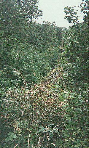
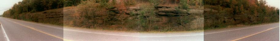
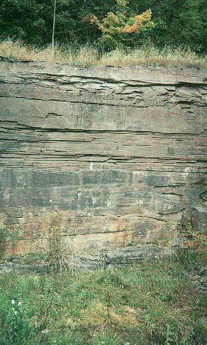
| STOP 1 Braided and meandering stream facies seen from a distance - 11.7 miles from exit 21 on the NYS Thruway |
| |
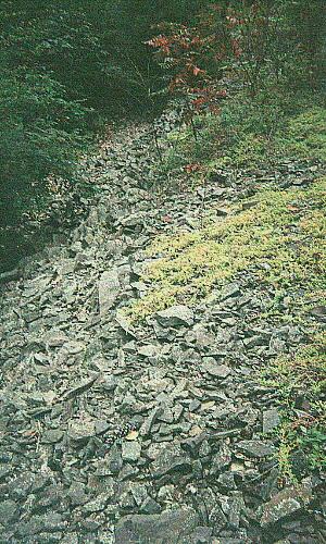
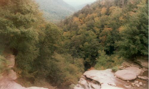
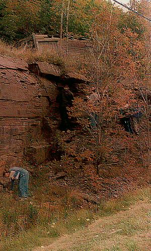
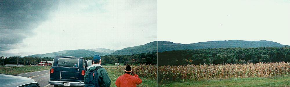 |
| Meandering and stream facies seen from the distance |
| |
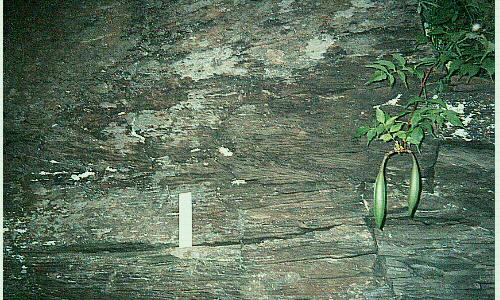
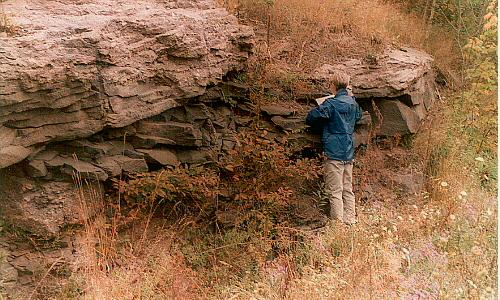
| STOP 2 Trestle Mountain House. Meandering stream facies - 16.1 miles from exit 21 on the NYS Thruway |
| |
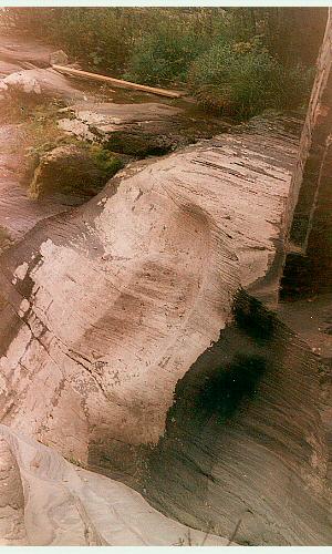
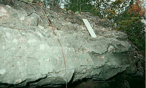 |  |
| Conglomeritic sandstone | Crossbedding clearly visible |
| |
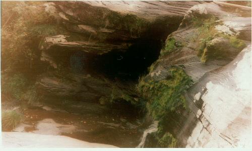
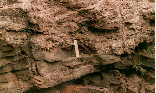
 |  |
| Loose rock being eroded away from the outcrop at Stop 2 | Outcrop at location 2 seen from a distance |
| |
 |  |
| Contact between shale and conglomeritic sandstone | Green-reddish shale at location 2 |
| |
 | Another view of the shale deposit at location 2 |
| |
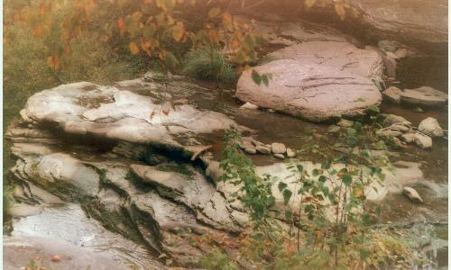
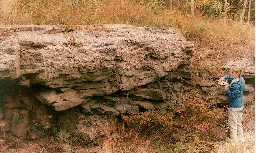
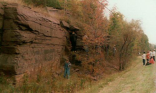
| STOP 3 Twilight Park. Braided stream facies - 22.0 miles from exit 21 on the NYS Thruway |
| |
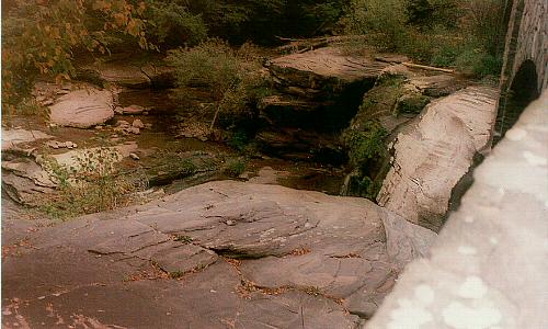 |  |
| View of sandstone and conglomerates being eroded by a modern stream | View of pebbles and cobbles eroded from the conglomerates above our location |
| |
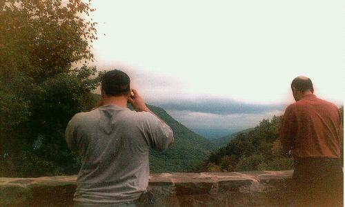
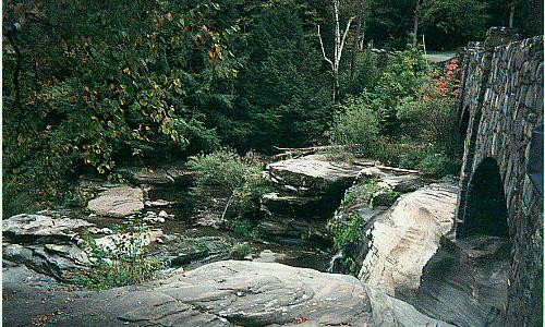
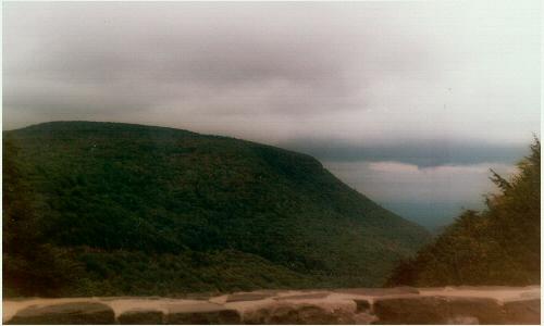 |  |
| Panoramic view of the Catskill Mountains | View of the slope of the river from the bridge at Haines Falls |
| |
 |  |
| Modern Stream at work | Panoramic view from Haines Falls |
| |
 |  |
| Different size of sediments being worked by the modern stream | Another view of the sandstone and the conglomerate |
| |
 | Crossbedding in sandstone |
| |
 | Another view of the outcrop at stop 3 |
| |
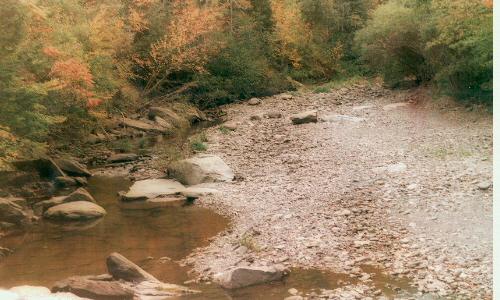
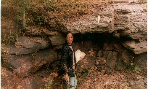
| STOP 4 Intersection of NY 23A and NY 296. Meandering stream facies: channels and overbank - 30.1 miles from exit 21 on the NYS Thruway |
| |
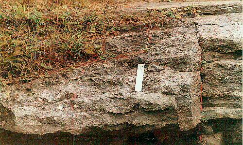 |  |
| Conglomerate and sandstone | Conglomerates, sandstones and shales |
| |
 |  |
| Contact between the sandstone and the conglomerate | Conglomerates, sandstones and shales |
| |
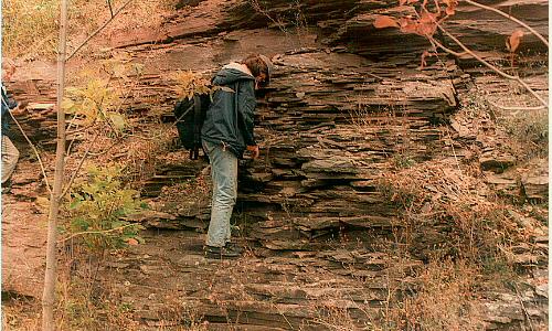
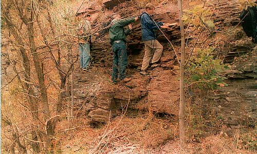
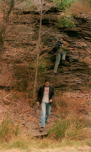
 | Student taking a closer look at the rocks |
| |
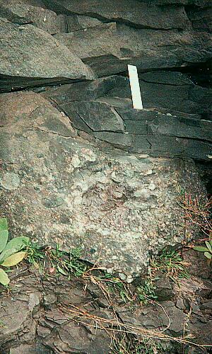
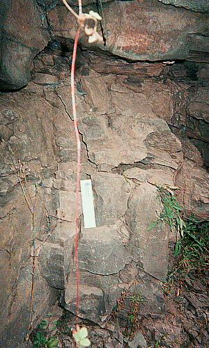
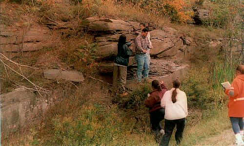
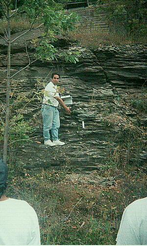
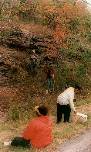
| STOP 5 East Windham. Meandering stream facies: channels, overbank and swamp - 42.9 miles from exit 21 on the NYS Thruway |
| |
 |
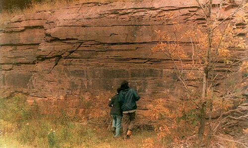
| Overview of the formation |
| |
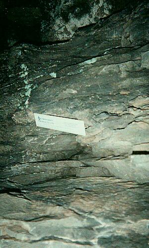
 | 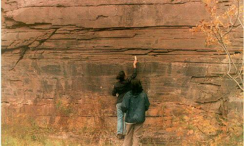 |
| Dr. Kolkas showing the remmants of fossils plants and leaves | Students at the contact between the shales and the swamp deposits |
| |
 |  |
| Students at work | Student looking closely at the shales |
| |
 |  |
| Students at the contact between the sandstone and the shale | Shales and mudstones |
| |
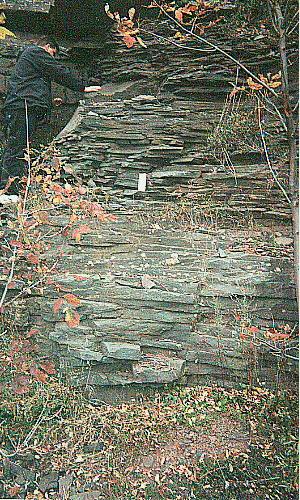 |  |
| Shales at stop 5 | Contact between the shales and mudstones |
| |
 |  |
| Shales at stop 5 | Fossil of a leave impressed in the rock record |
| |
 |  |
| |
 |  |
| |
 | Geology is fun!! |
| |
| |