| FIELD TRIP |  |
| "SEDIMENTARY FACIES: Products of Sedimentary Environments in Catskill Mountains, Mohawk Valley, and Taconic Sequence, Eastern New York State" |
| PROF. GERALD M. FRIEDMAN |
| This field trip examines sedimentary facies which originated in shallow- as well as in deep marine waters. |
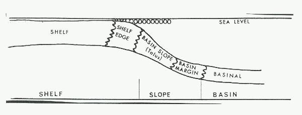 |
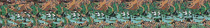
| Inferred interrelations of Cambrian-Ordovician shelf, slope, and basin facies of the area of Troy and its environs. |
| |
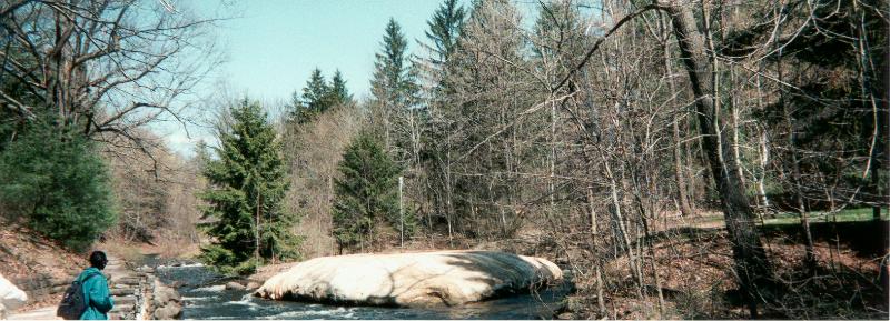
| SARATOGA SPA STATE PARK |
 |
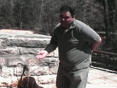
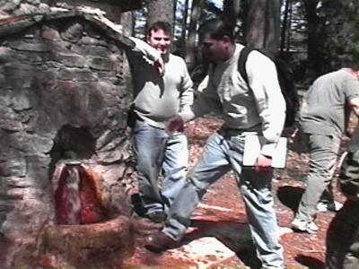
| Orenda Spring |
| Bicarbonate-charged, saline waters being "tested" by members of our field trip. These waters are "super-charged" with salts. These salts precipitate around orifices of wells, terraces from which water descends, or as a cone around a "geyser". Waters enriched in calcium bicarbonate issue from the subsurface, lose their carbon dioxide and insoluble calcite precipitates: |
| 2HCO3- + Ca++ --><-- 2CaCO3 + H2O + CO3 |
 |
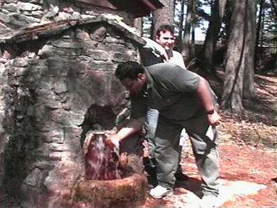 |  |
| Krishna going for the "test" | Krishna's face after the "test" |
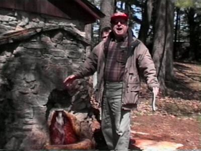 |  |
| Prof. Friedman's satisfaction after the "test" | Supy going for the "test" |
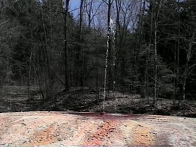 | 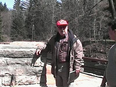 |
| Island Spouter "Geyser" and the large cone of travertine formed by the same. | Prof. Friedman standing in front of the Hayes Well Spring. In the background the Island Spouter "Geyser". |
| |
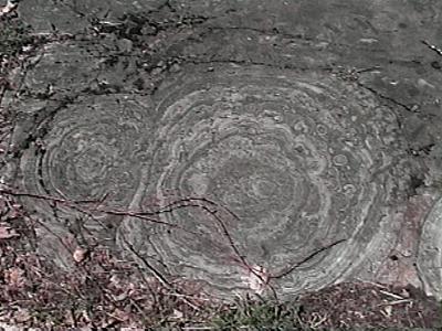
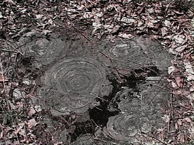
| LESTER PARK |
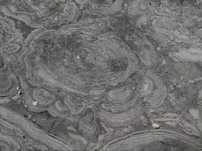
| Domed Cyanobacterial Cabbage Heads: (Stromatolites) |
| Top view of stromatolites showing domed laminae known as cabbage head structures. |
 |  |
 |  |
 | Graduate students working in the Hoyt Formation |
| |
| SCHOHARIE CROSSING |
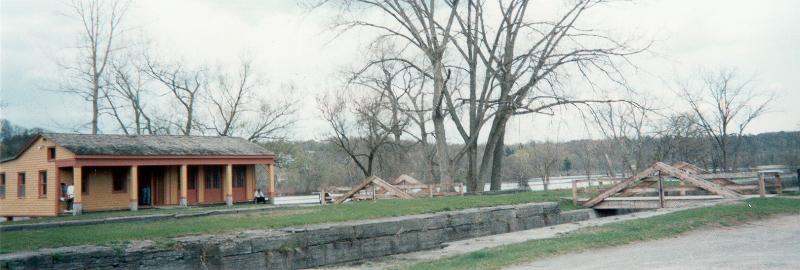 |
| The original Erie Canal,completed in 1825, was 363 miles long. It had 83 locks, with a boat channel 40-feet wide by 4-feet deep. Lock 20 and the East Guard Lock date from the canal's first stage. Begining in 1835, The Erie Canal was widened to 70 feet, deepened to 7 feet , and 72 improved locks were constructed. |
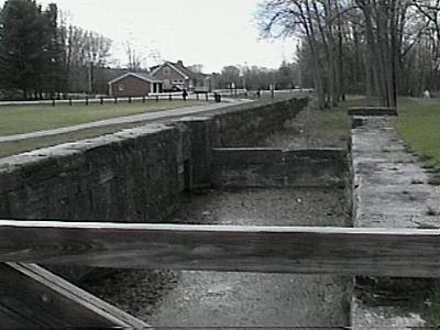 | 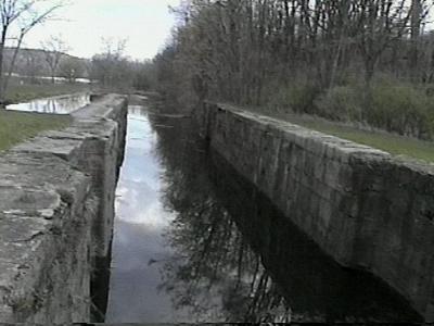 |
| Remaining structure of the Erie Canal. Picture of the Tribes Hill Lock 12 | Remaining structure of the Erie Canal. |
TR> |
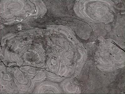
| TROY HIGH SCHOOL QUARRY |
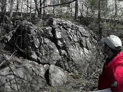 | 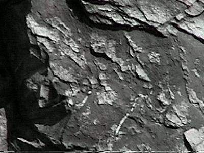 |
| Troy High School Quarry. Brecciolas (conglomerates of shallow water origin)in deep water (basin margin facies). West Castleton Fmtion. (lower Cambrian) | Close-up of the outcrop at the Troy High School Quarry. |
TR> |
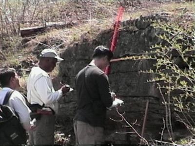
| POESTENKILL FALLS |
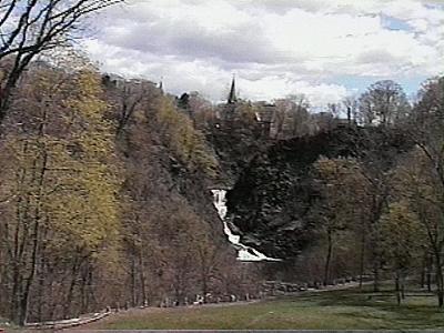 | 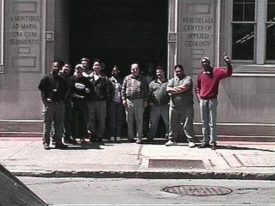 |
| Poestenkill Falls. Ordovician rocks highly tectonized. | Graduate students involved in this field trip. |
 | Supy's field geology partner, waiting for Supy outside the Northeast Science Foundation |