geological map. That is all.
course).
TROY FIELD TRIP
STRATIGRAPHY
| POESTENKILL FALLS | ||
| Day 1 | Stop 1 | 2.4 miles from the Rensselaer Center |
Cambrian-Ordovician deposits
|
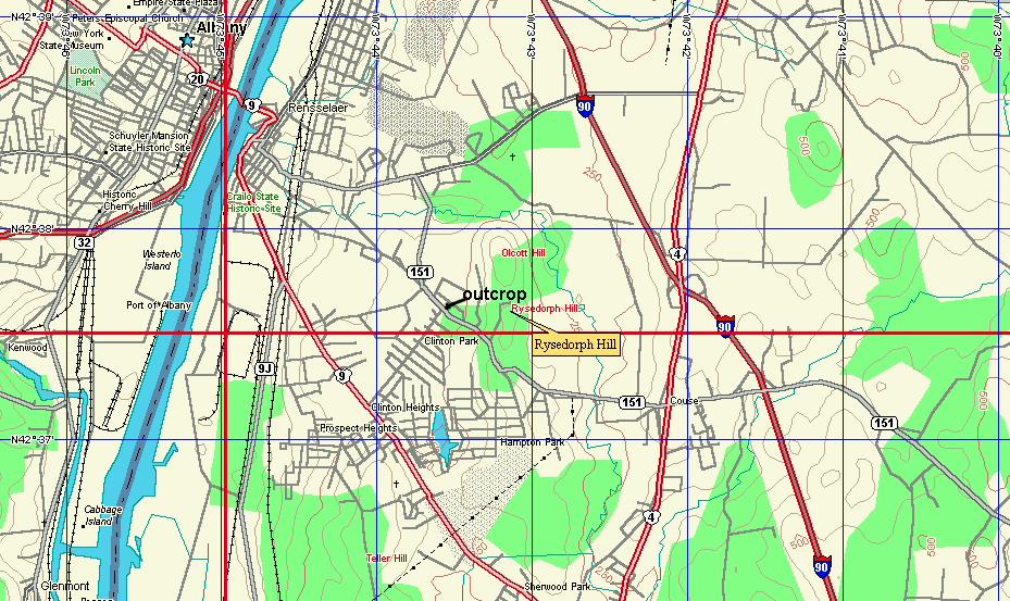
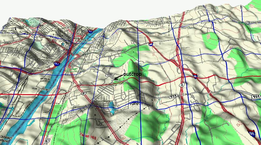
| This is the regular topo map with a little relief. |
|
| Same map after using paint, photoshop or any other
program that allows you to make modifications to a
picture. Now this becomes the geological map. That is all. |
|
| This is a planar view if you don't like the relief.
Just right click to obtain the image and label as you
please (with th eright information of course). |
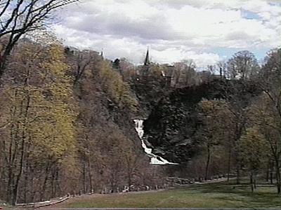 |
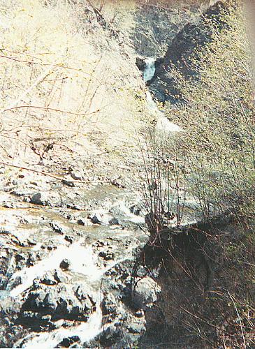
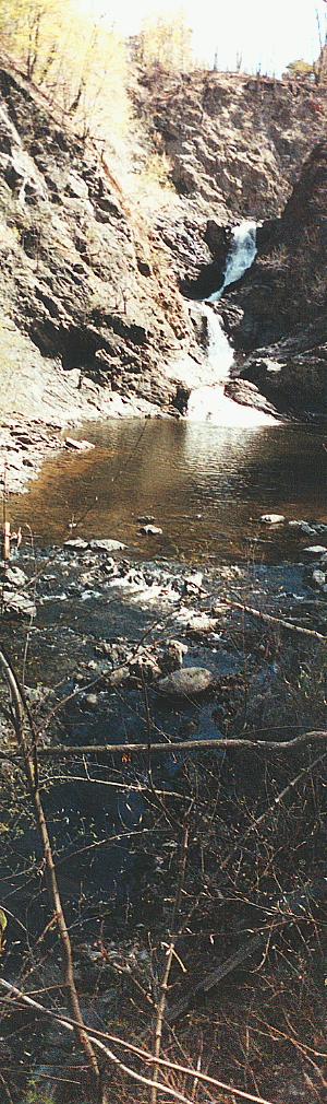
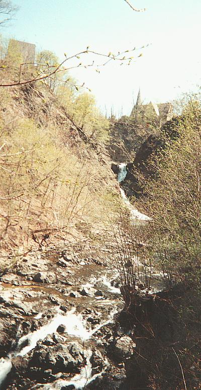
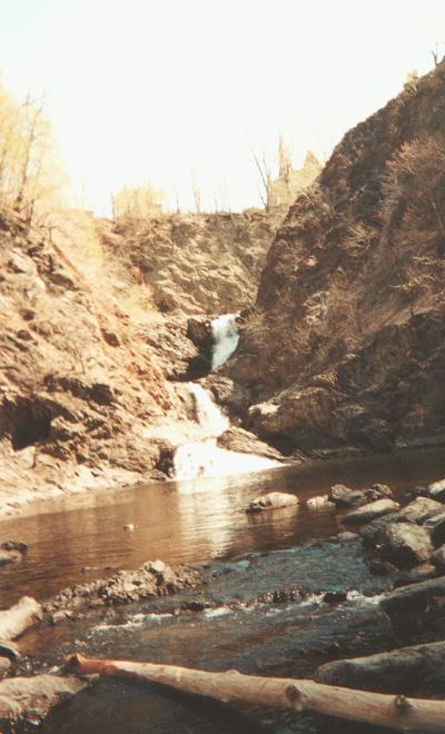
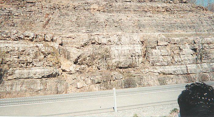
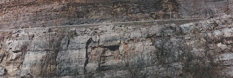
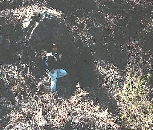
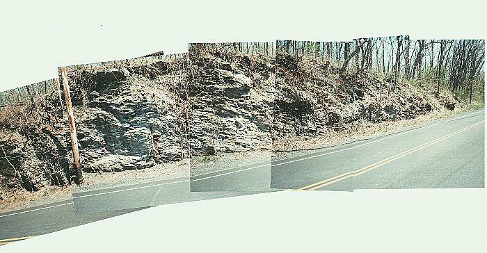
View of the Poestenkill falls from the parking lot. (Looking NE from the SW). |
 |
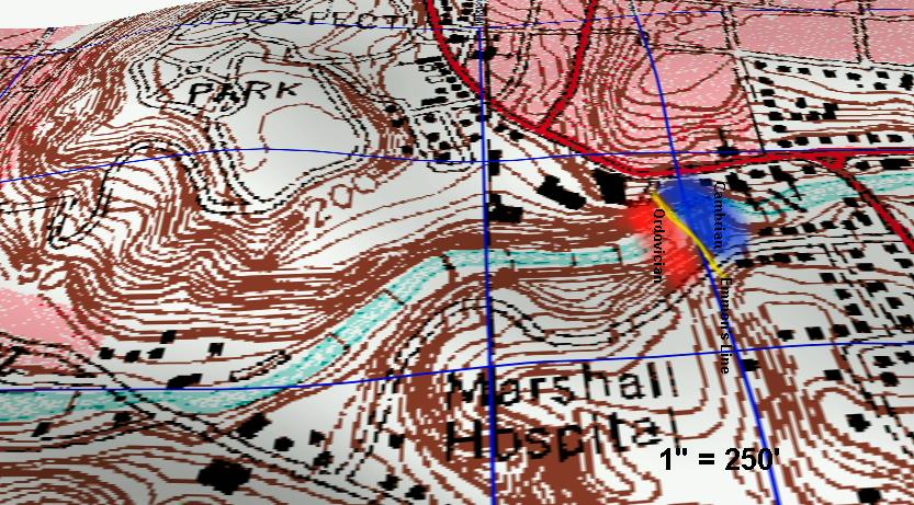
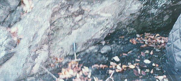
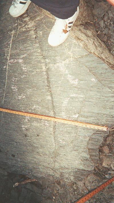
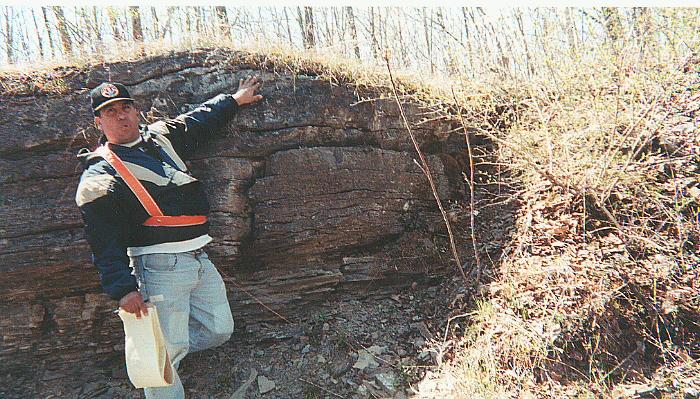
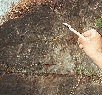
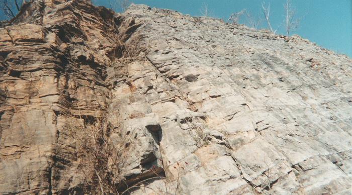
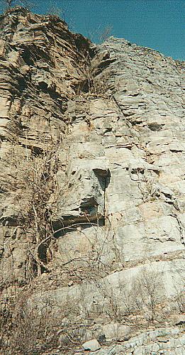
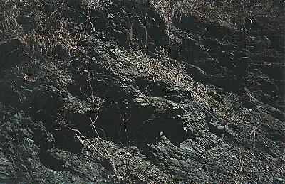
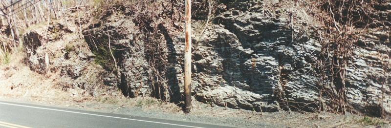
Logan's Line, now known as Emmon's Line. This is the contact where the older Cambrian rocks (top) overlay the younger Ordovician rocks (bottom) |
 |
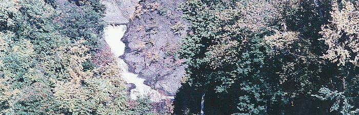
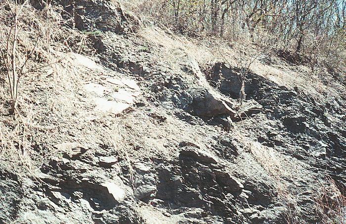
Another view of Emmon's Line. |
 |
|||
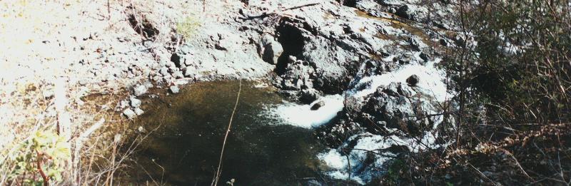
| Overview of Poestenkill falls. | |||
 |
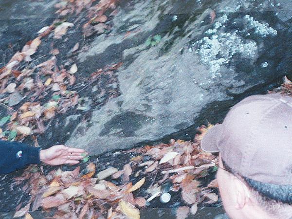
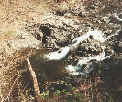
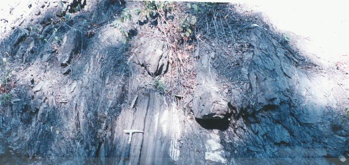
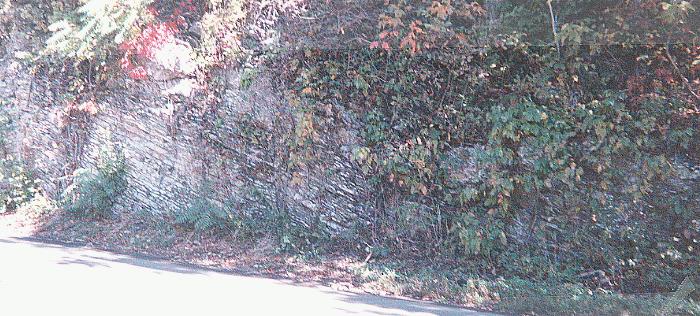
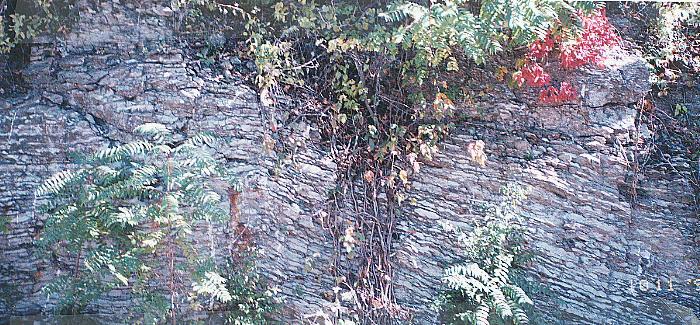
View of some of the "wild flysch". The two
boulders are made of sandstone, but the matrix is a shale. |
||
 |
 |
 |
 |
 |
 |
| LESTER PARK | ||
| Day 1 | Stop 2 | 40.5 miles from the Rensselaer Center Petrified Gardens Rd. |
 |
 |
||
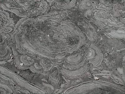
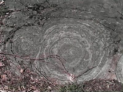
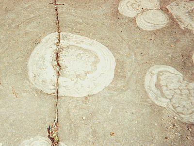
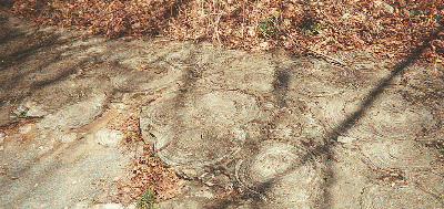
| Stromatolites are the oldest known fossils,
dating back more than 3 billion years. |
They are colonial structures formed by photosynthesizing cyannobacteria and other microbes. |
||
 |
 |
||
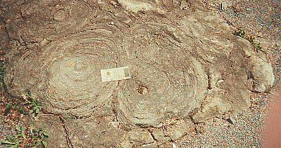
| Stromatolites are prokaryotes(primitive organisms
lacking a cellular nucleus) that thrived in warm aquatic environments and built reefs much the same way as coral does today. |
Cyannobacteria were likely responsible for the
creation of earth's oxygen atmosphere. They were the dominant lifeform on Earth for over 2 billion years. Today they are nearly extinct, living a precarious existence in only a few localities worldwide. |
||
 |
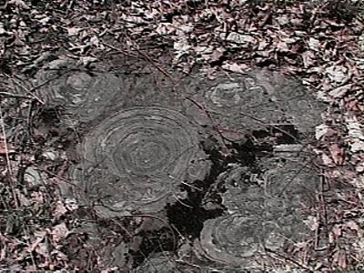
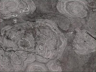
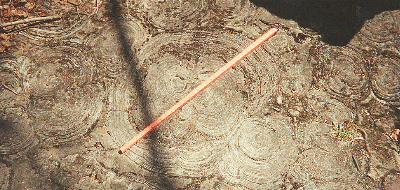
Here si the Hoyt Formation where one could observe a
cross-section of this stromatolites colony.Hoyt Formation is Cambrian in age. |
||
 |
|||
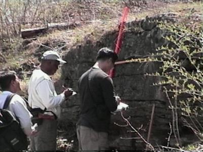
| Measuring the Hoyt formation. | |||
 |
|||
| Cross section the cyanobacteria mats, see the "cabbage patch" structure. | |||
 |
 |
||
 |
 |
||
 |
|||
 |
|||
 |
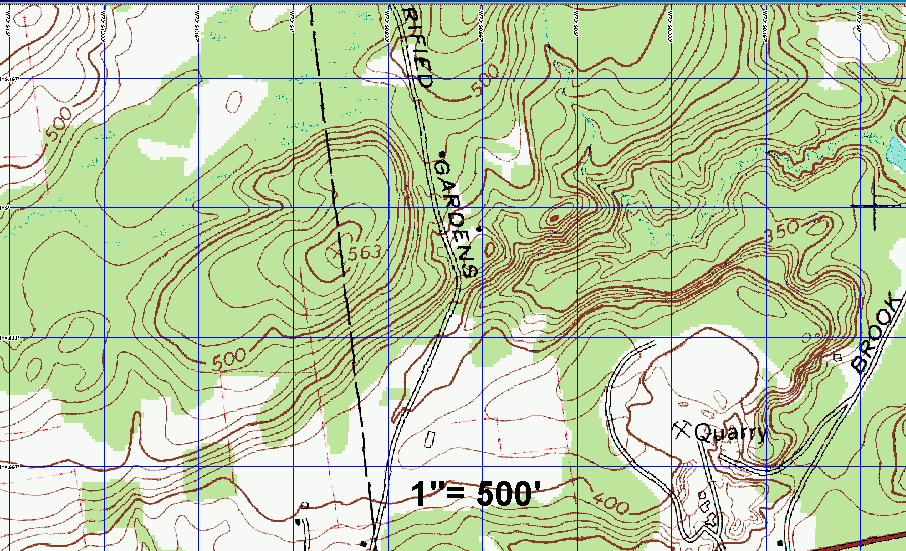 |
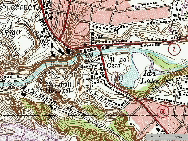
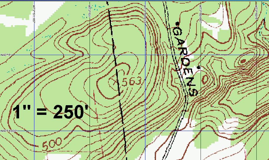
| The scale of these two topo maps is just too big to
show the small map where the stromatolites colony is
located and their distribution, you might want to use paint or photoshop and just draw it freehand. |
| BEECKMAN TOWN FORMATION | ||
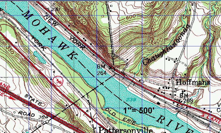
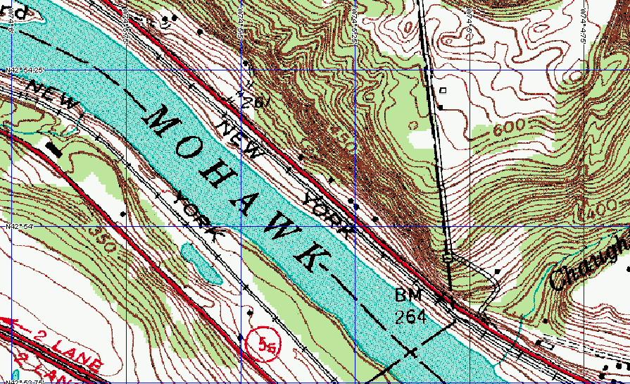
| Day 1 | Stop 3 | 76.9 and 79.2 miles from the Rensselaer Center Route 5, boundary of Montgomery and Schenectady Counties, East of Amsterdam, near Hoffman. |
 |
|
 |
|
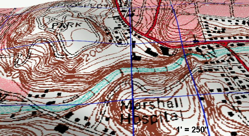
| Here are two topo maps. Choose any of
them, here you can't really map anything because there is
not enough information. The scale for the bottom map is 1' = 250" |
|
 |
|
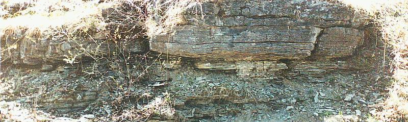
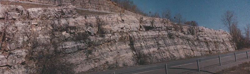
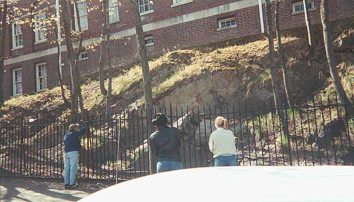
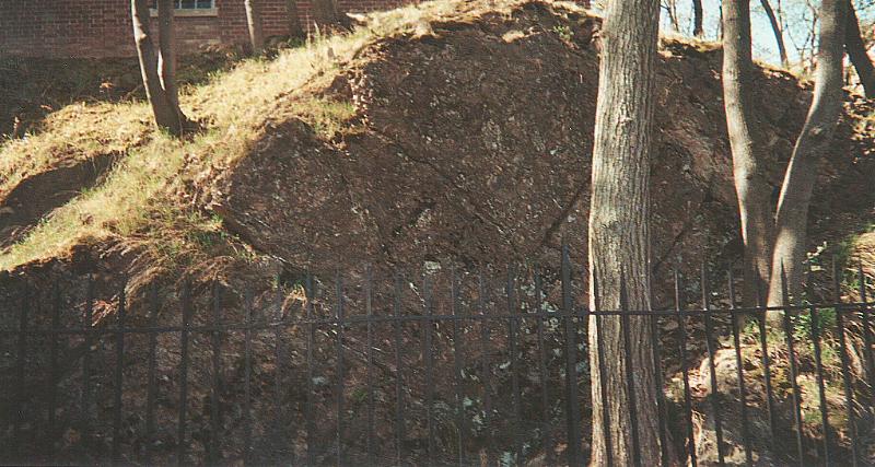
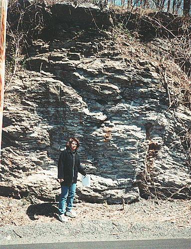
| Overview of the Beeckman Town formation, all limestone. | |
 |
|
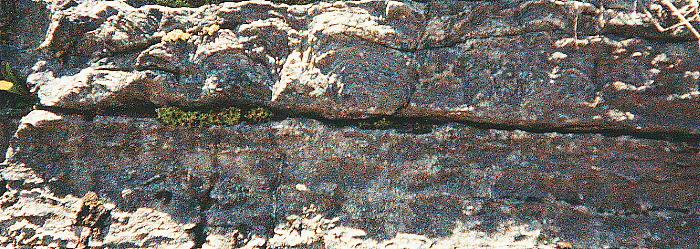
| Beeckman Town Formation, note the fine lamination. |
 |
Another view of the Beeckman Town Formation. |
 |
 |
 |
 |
 |
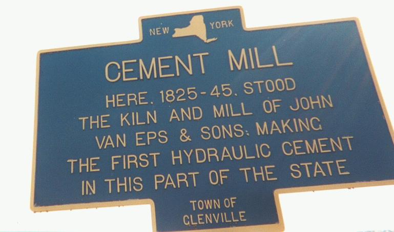
| CEMENT MILL | ||
| Day 1 | Stop 4 | 79.0 miles from the Rensselaer Center 600 feet off Route 5. |
| Here we saw a plaque that read as follows: | "Cement Mill, Here 1825-45 stood
the kiln and Mill of John Van Eps and sons making the first hydraulic cement in this part of the state. Town of Glenville". |
 |
| REENSALEAR GYM | ||
| Day 2 | Stop 1 | 0.9 miles from the Rensselaer Center |
 |
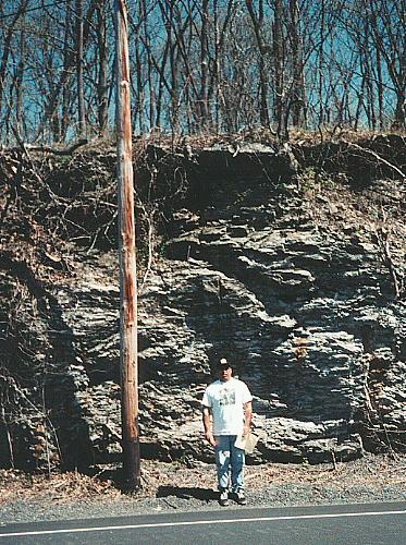
Close up of the brecciolas at the outcrop, stop 1. |
 |
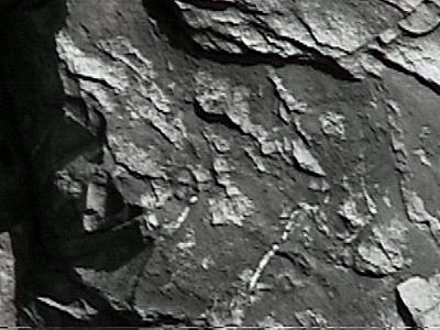
| Outcrop where blocks of "wild flysh" could be seen. |
 |
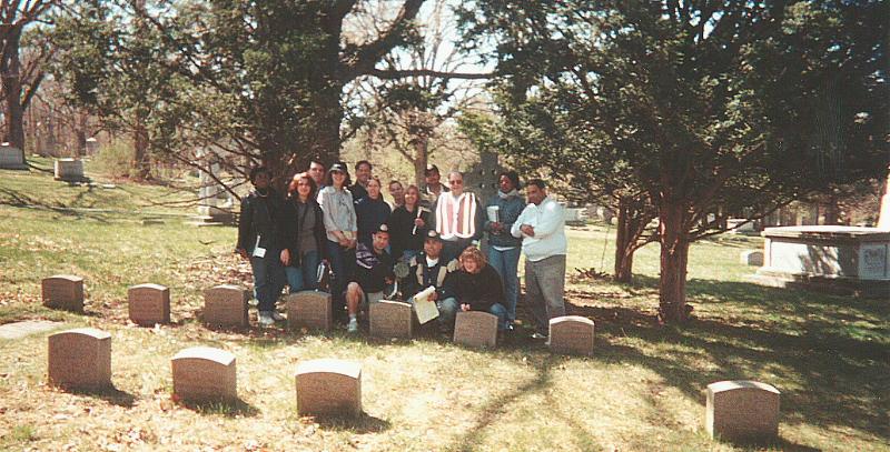
| OAKWOOD CEMETARY | ||
| Day 2 | Stop 2 | 3.5 miles from the Rensselaer Center Top of the hill. |
 |
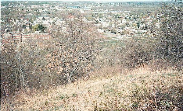
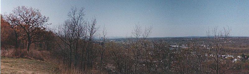
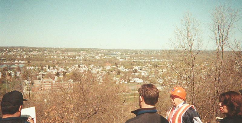
| General overview of the area standing at the highest point in the Oakwood Cementary. |
 |
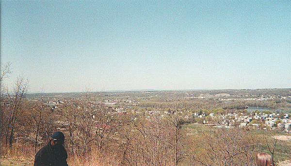
| Relief view from Oakwood Cemetary, that little monument where we were standing is by the letter "k" on Oakwood. |
 |
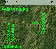
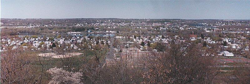
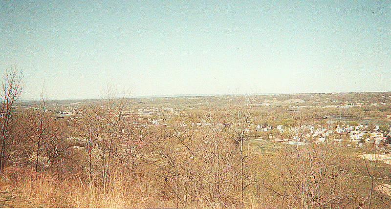
| View from the Oakwood Cemetary, in the distance the Adirondacks. |
 |
| View from the Oakwood Cemetary, in the distance the Helderbergs. |
 |
 |
 |
 |
 |
| OAKWOOD CEMETARY | ||
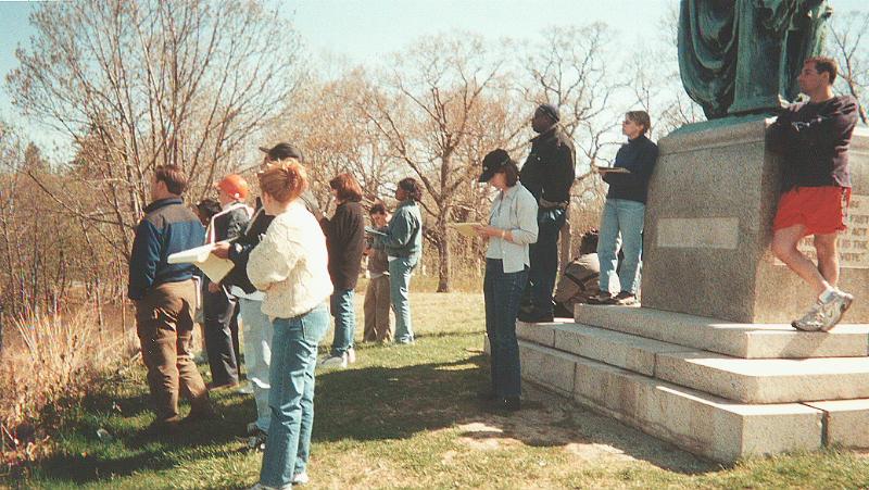
| Day 2 | Stop 3 | 4.0 miles from the Rensselaer Center Sidney Powers' grave. |
| Sidney Power's plaque reads as follows: | "A leading geologist of his generation.
Brilliant and dazzling author and editor. Oil finder, mentor and consultant. The history of the American Association of Petroleum Geologists (AAPG), the world's largest Geological Association, is closely linked to his life and work. He was founding member and its 14th President (1930). His life was short but his contributions were great". |
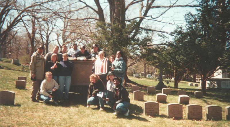 |
| OAKWOOD CEMETARY | ||
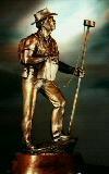
| Day 2 | Stop 4 | 4.7 miles from the Rensselaer Center Samuel ("Uncle Sam") Wilson's grave. |
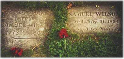 |
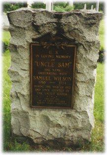 |
| View of the grave of Samuel WIlson and his wife. | Plaque dedicate to Uncle Sam. |
| OAKWOOD CEMETARY | ||
| Day 2 | Stop 5 | 5.1 miles from the Rensselaer Center Henry B. Nason's grave. |
| Henry B. Nason's plaque reads as follows: | "Co-founder of GSA and mentor of
eminent GSA president Thomas C. Chamberlin, and inspirer of Roebling in mineralogy". |
 |
| OAKWOOD CEMETARY | ||
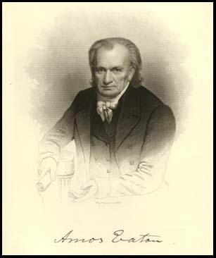
| Day 2 | Stop 6 | 5.7 miles from the Rensselaer Center Amos Eaton's grave. |
| Amos Eaton's plaque reads as follows: | "Amos Eaton, with Patroon Stephen
Van Rensselaer, founded the Rensselaer School in 1824, later know as the Rensselaer Polytechnic Institute. A philosopher of higher education, he revolutionized instruction away from the liberal arts tradition into a laboratory method of applied preparation for solving society's problems. He was a strong proponent of higher education for women". |
 |
|
| RYSEDORPH HILL | ||
| Day 2 | Stop 7 | 19.9 miles from the Rensselaer Center |
 |
 |
| You can't map here, there is not enough information. |
 |
 |
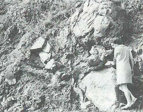
| Sandstone boulder in a shale matrix. Mrs. Friedman as a scale. | Same sandstone boulder in a shale matrix. |
 |
|
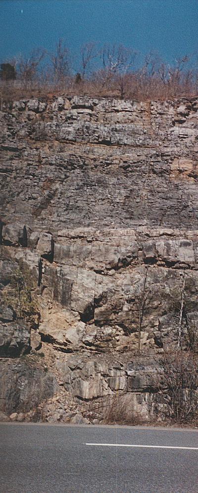
| Rysedorph Hill overview. | |
 |
|
| Rysedorph Hill overview. | |
 |
|
 |
|
 |
|
 |
|
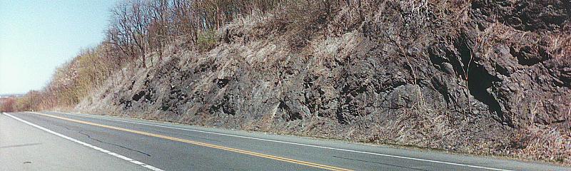
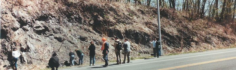
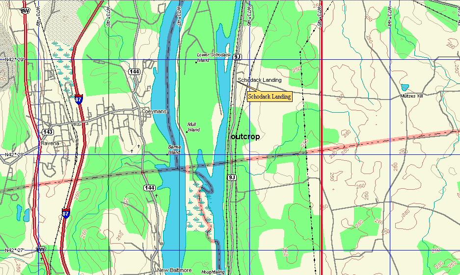
| SOUTH SCHODACK | ||
| Day 2 | Stop 8 | 36.5 miles from the Rensselaer Center |
 |
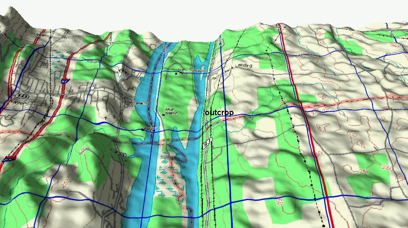 |
| You can't map here, there is not enough information. |
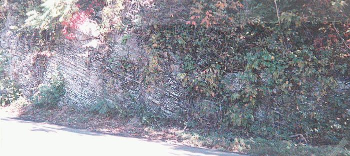 |
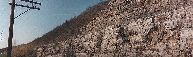
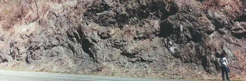
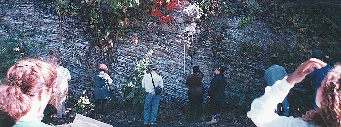
| South of Schodak Landing. Limestone on the bottom and shale on top. |
 |
| Limestone on the bottom, shale on top. Note the contact (above the ruler). |
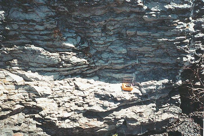 |
| Close of the thin laminated limestone. |
 |
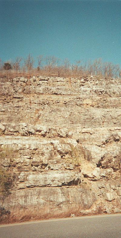
| Overview of the outcrop |
 |
| Another view of the outcrop. Bottom LS and top SH. |
 |
 |
 |
 |
| Are we done yet? | Note the limestone on the bottom and a thin layer of shale on top. |
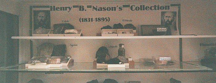 |
| Overview of the Nason Collection at the Institute |
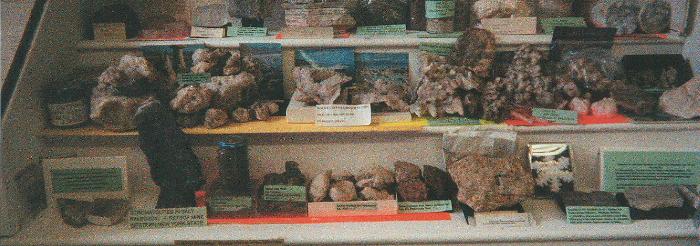 |
| Overview of the mineral collection at the Institute |
For more pictures in the institute click here.
Special tanks to Jacqueline Andrawis, who was the only one in having the pictures ready on time.
Thanks to Prof. Papangocleous for his technical and academic support.
 |
| Updated and mantained by Guillermo Rocha |