
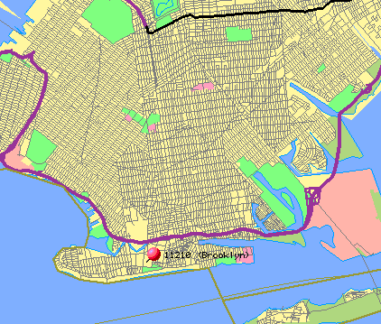
| "Lou, I'd like you to find out the magnetic declination for Coney Island! I've stuck a red stick pin into the map to mark the place!" | |
 | "How do I go about it?!" |
| "Well, I'll show you how for Flatbush! Then you do it for Coney Island! First, I need to find out the latitude and longitude for Flatbush! The Getty Thesaurus of Geographic Names will give me that information! (The Thesaurus will appear in a separate window. I suggest you resize and shift the window so you can continue to see the instructions!)" |  |
| "Where it says 'Find Name:', type in 'Flatbush'; leave 'Place Type' empty; where it says 'Nation', type in 'United States'. Then click on 'Search'. That will give all the different places called 'Flatbush'. Next, click on the three blue dots next to the Flatbush we want, in this case #1, the Flatbush in Brooklyn. The next display is a 'hierarchy' of the location. Click on the word 'Flatbush' where it says 'Flatbush' (neighborhood). This brings me to a page giving information about Flatbush...and there's my answer: Lat: 40 39 N; Long: 073 57 W. That means, latitude 40 degrees 39 minutes North, and longitude 73 degrees 57 minutes West. Now I close that window! |
| "Next, I go to the National Geophysical Data Center!" |
| "Ignore 'search by zip code'. Where it says 'Enter Location', for Latitude, enter 40 39 00 (N is already chosen); for Longitude, enter 73 57 00 (W is already chosen). Then scroll down to where it says 'Enter Date' and make sure the date is correct. Finally, press 'Compute Declination'. The answer appears underneath, in two parts: the first gives the declination for the date in question; the second gives the rate at which the declination is changing. |
| "Wow! OK, I'll try it for Coney Island!" |
| "Write down your answer on a piece of paper! You'll need it for Quiz # 2!" |
©2000
David Leveson