|
"That's it!! Some of the things maps show are...."
| Features of the landscape: hills, valleys, lakes, rivers, shorelines... |  | This is a Topographic Map, using contours. We'll be learning a lot about these! |
| Geographic boundaries: borders of countries, states, counties, cities... |  | This is a Political Map. |
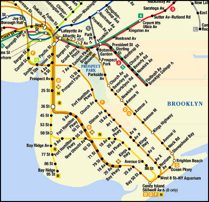
| Objects made by people: railroads, houses, bridges, docks, quarries... |  | This is a Subway Map. |
| Social, political or economic features: population density, average income, crime rates... |  | This map shows areas within commuting distance of cities. |
| Degrees of hazard: from floods, earthquakes, landslides, tidal waves... |  | This Hazard Map shows areas that would be flooded if sea level rose 400 feet. |
| Types and ages of rocks that underlie the surface of the ground... |  | This is a Geologic Map. We'll be learning a lot about these! |
| |