THE PREDICTION: You have made a prediction as to what characteristic features should be observed in the NYC region if any of the hills or valleys or sloping flat surfaces originated through uplift, depression or tilting caused by deformation.
ASSEMBLING THE DATA: To devise and evaluate your prediction, you have examined data:
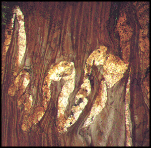
- about geologic processes.
- about the materials of the NYC area.
- about the landforms of the NYC area.
What you need to do:
Now use that data to evaluate your prediction.
Click on each of the two blue buttons to examine and analyze details of the geology of NYC. Enter your results on Deformation Evaluation Form # Q-9.
 | Block Diagram of Parts of Manhattan, the Bronx, and New Jersey: Details and Analysis. |
| Block Diagram Across Central Brooklyn: Details and Analysis. |
 | Printout Deformation Evaluation Form # Q-9. |