THE GEOLOGY OF THE NEW YORK CITY METROPOLITAN AREA
GENERAL INSTRUCTIONS:
- Work your way through this web page. Read all specific instructions carefully.
- Click on all thumbnail images.
- The words 'SEE PICTURES' link to images. Follow the links and look at the pictures.
- Print out and save Figures 1A, 1B, 2, 3, 5, Profile X-Y, and the Brooklyn-Queens Exercise. Do the required constructions or calculations and answer all the questions.
- Bring all the printed out, completed web pages to class.
1. LOCAL GEOGRAPHY.
 | First, learn the geography of NYC!! Press the button! |  |
| Next, learn the geography of the NYC metropolitan area!! Press the button!! | |
| Next, learn the X dike!! Press the button!! | |
| Now, click on thumbnail images 1A and 1B. They will lead you to full size outline maps of the New York City region. Under the full size maps you will find instructions as to the tasks you are to perform. |
Thumbnail
of Figure 1A | 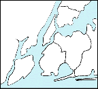 |
Thumbnail
of Figure 1B | 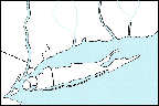 |
2. LOCAL AND REGIONAL TOPOGRAPHY.
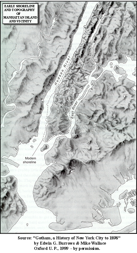
Topography is the description of the configuration of the surface of the land, including the sizes and shapes and elevations above sea level of such features as hills, valleys, cliffs and plains. In the figure to the right, you can see a drawing that illustrates the topography of the island of Manhattan and surrounding regions when the area was first encountered by European settlers. Note the ways in which the modern shoreline of Manhattan (indicated by the dashed line) differs from the 17th century shoreline. |
 |
The satellite image below shows the topography of much of the northeastern United States and illustrates the regional topographic setting for the New York metropolitan region. See if you can locate the features that you identified on Figures 1A and 1B.

Click on the thumbnail image of Figure 2.
It will lead you to a full size map and
instructions as to the tasks you are to perform. | Thumbnail
of Figure 2. | 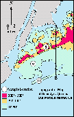 |
Click on the thumbnail image of Figure 3.
It will lead you to a full size map and
instructions as to the tasks you are to perform. | Thumbnail
of Figure 3. | 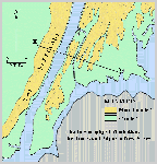 |
3. LOCAL AND REGIONAL GEOLOGY.
Our aim is to arrive at an understanding of the origin of the topographic features of the New York City region in terms of the materials out of which they are composed and/or the geologic processes that created or acted upon them.
Figure 4 is a map that shows the distribution of different rock and sediment types that underlie the New York City region.
First, we will consider Manhattan and the Bronx; then the Palisades; then Brooklyn and Queens.
Figure 4.
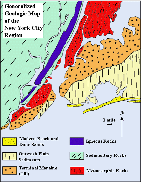
MANHATTAN AND THE BRONX:
Click on the thumbnail image
of Figure 5. Follow the instructions
as to the tasks you are to
perform. | Thumbnail of Figure 5. | 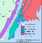 |
THE PALISADES:
Click on the thumbnail image
of Profile X-Y. Follow the instructions
as to the tasks you are to
perform. | Thumbnail of Profile X-Y. | 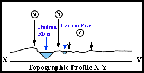 |
BROOKLYN AND QUEENS:
Click on the thumbnail image
to get to the Brooklyn-Queens Exercise.
Follow the instructions
as to the tasks you are to
perform. | Thumbnail of Brooklyn-Queens. | 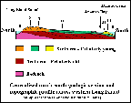 |
CONGRATULATIONS! YOU HAVE COMPLETED THE LAB ON THE GEOLOGY OF THE NEW YORK CITY REGION
CORE 8.2 HOME PAGE